Bushfire zone maps
As a result of the bushfires in Christmas 2001, the NSW government introduced legislation to ensure residential and other developments such as child care facilities, hospitals and aged care facilities are not unduly exposed to any major bushfire risk.
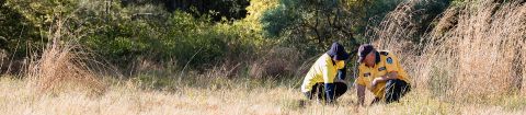
We work with the NSW Rural Fire Service to identify bushfire prone areas within Port Stephens.
These maps were developed by analysing factors such as vegetation type and patterns of existing development, and are constantly being updated.
If your property is bushfire prone and you are intending to develop, we will provide you with information and guidelines relating to your property and what measures need to be taken to enable your development to proceed.
These requirements are also set out in the guideline, Planning for Bushfire Protection which is available from the NSW Rural Fire Service.